Precision Engineering.
Documented in the Field.
Providing end-to-end engineering surveys, spatial data collection, and infrastructure consultancy for government departments, railways, municipalities, and EPC contractors.
Engineering Precision.
Built for Infrastructure.
Earth Construction and Consultancy (ECAC) is a specialized engineering surveying and consultancy firm. We partner with infrastructure developers, contractors, and public sector organizations to deliver rigorous, field-verified technical data.
Our multidisciplinary team possesses extensive practical experience in challenging environments. From initial site reconnaissance and geospatial data collection to digital mapping and engineering reporting, we provide the technical foundation required for successful project execution.
Multidisciplinary Engineering Expertise
Engineering & Topographical Surveys
Execution of highly accurate planimetric and height control surveys. We establish precise geodetic control networks for complex engineering, infrastructure, and linear development projects.
Explore Capability →- Total Station & GNSS Control
- Digital Terrain Modelling
- Base Line Establishment
- As-Built Topography
Railway & Transport Infrastructure
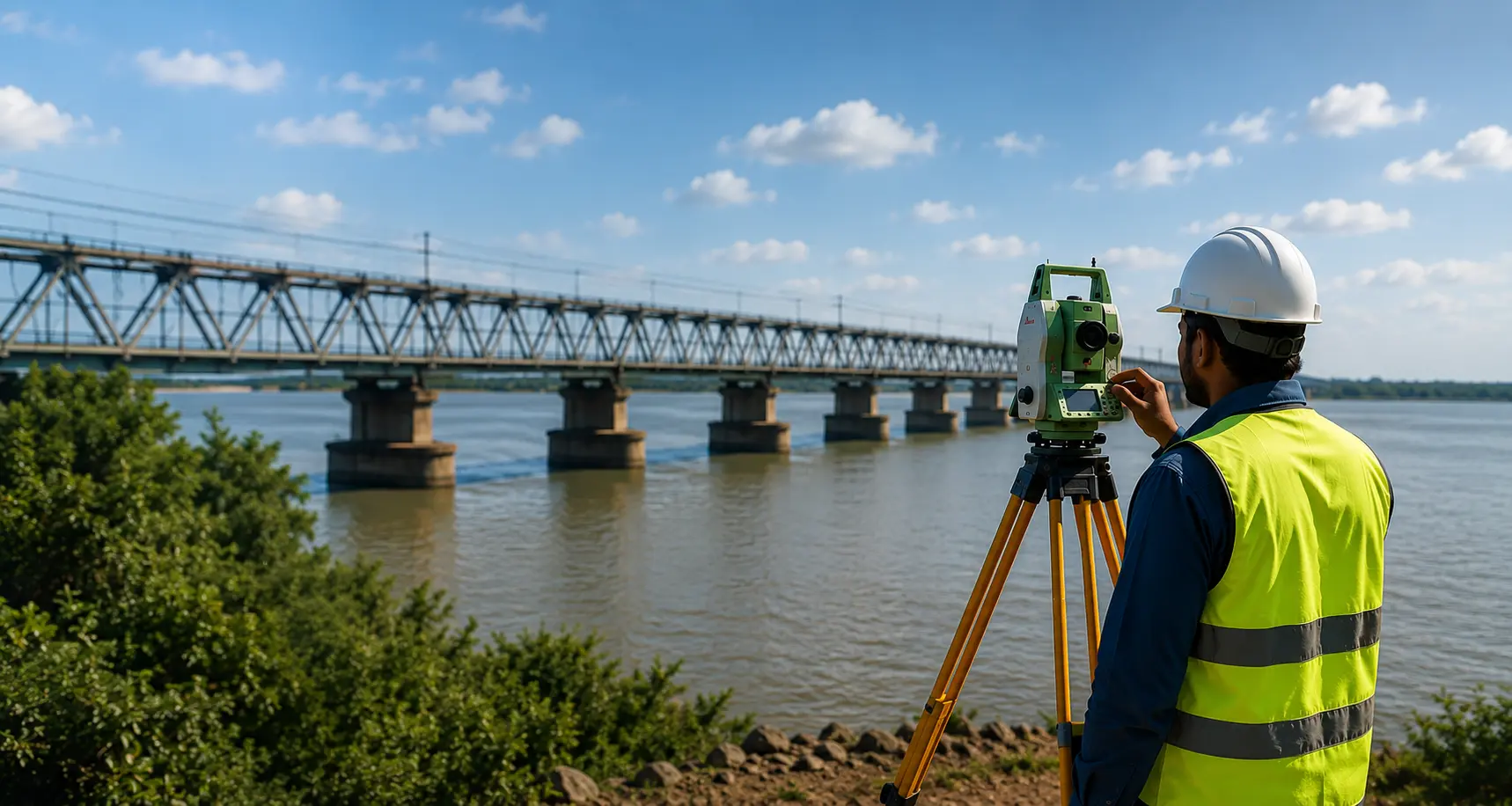
Specialized surveying for transportation networks. We assist EPC contractors and engineering teams with strict-tolerance data collection for railways, bridges, and highway alignments.
Explore Capability →- Railway Track Surveys
- Route Alignment Mapping
- Bridge & Structural Surveys
- Geometric Highway Design
Water, Drainage & Field Surveys
Field surveys and hydraulic engineering support for water sector projects. We conduct detailed assessments for sewerage, drainage networks, and complex hydrological environments.
Explore Capability →- Drainage Network Profiling
- Hydrographic & Bathymetry
- Catchment Area Mapping
- Pipeline Alignment Support
Our Survey Workflow
Site Reconnaissance
Initial feasibility, terrain assessment, and planning.
Control Establishment
Field Data Collection
Digital Processing
Engineering Deliverables
From Field Data to
Engineering Decisions
We deploy modern surveying instrumentation and robust software workflows to guarantee absolute accuracy in topographic models, hydrographic surveys, and engineering documentation.
Hardware Precision
- Differential GNSS / GPS
- Robotic Total Stations
- Digital Auto Levels
- ADCP & Echo Sounders
- UAV / Drone Survey Systems
Digital Engineering
- AutoCAD Civil 3D
- Bentley MX-ROAD
- Geospatial Data Processing
- WaterGEMS / Bentley HAMMER
Engineering Work. Documented in the Field.
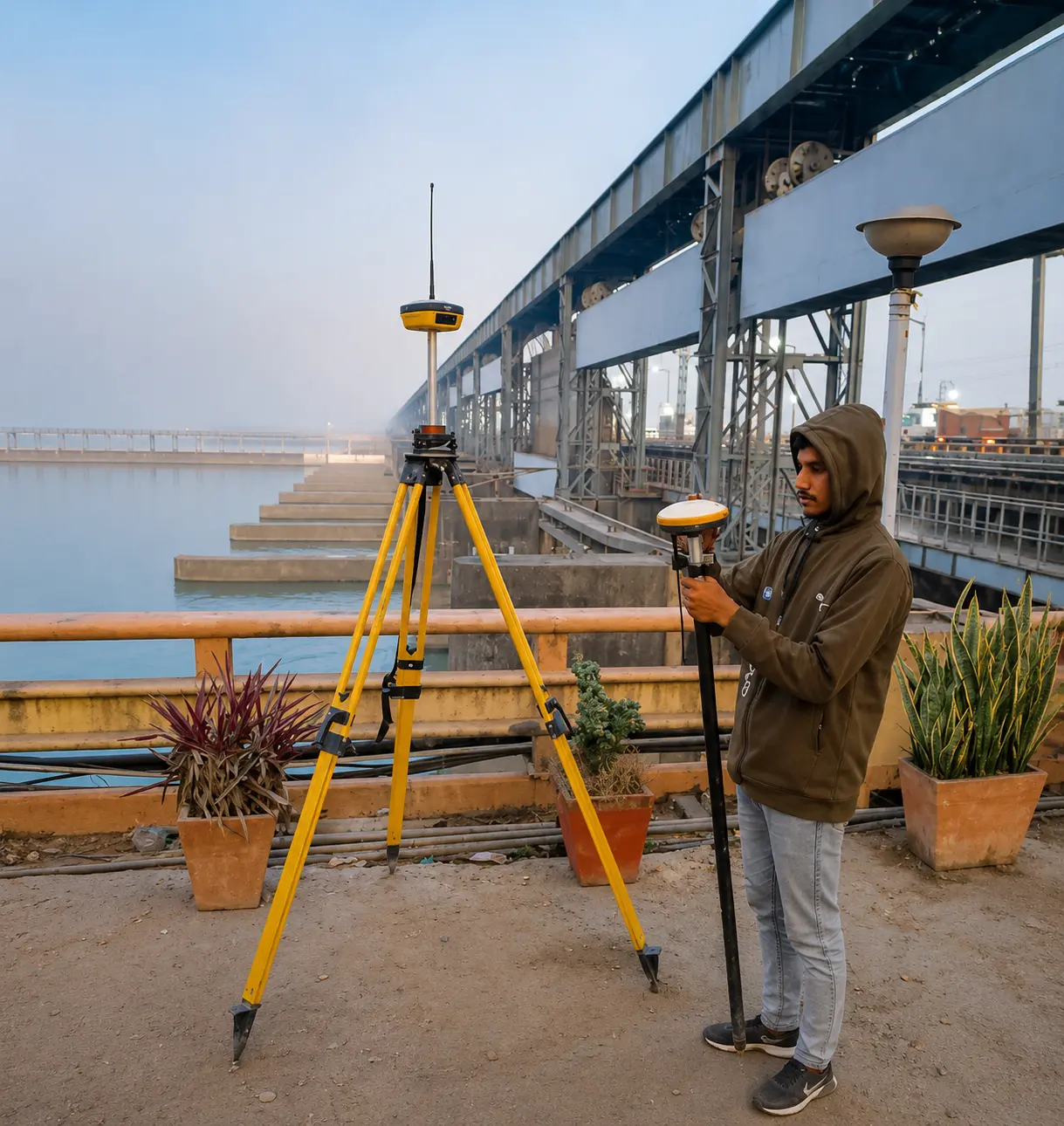
Selected field photographs demonstrating ECAC's surveying and infrastructure experience.
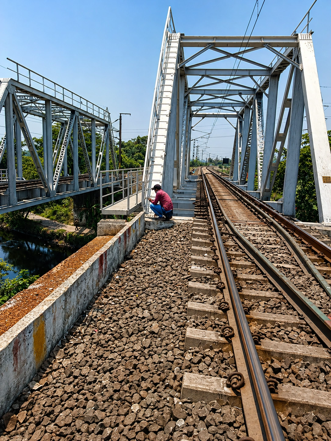
Railway Bridge Survey
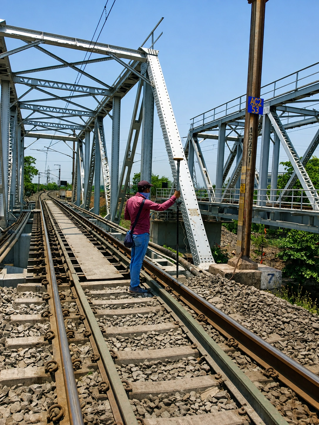
Railway Infrastructure Survey
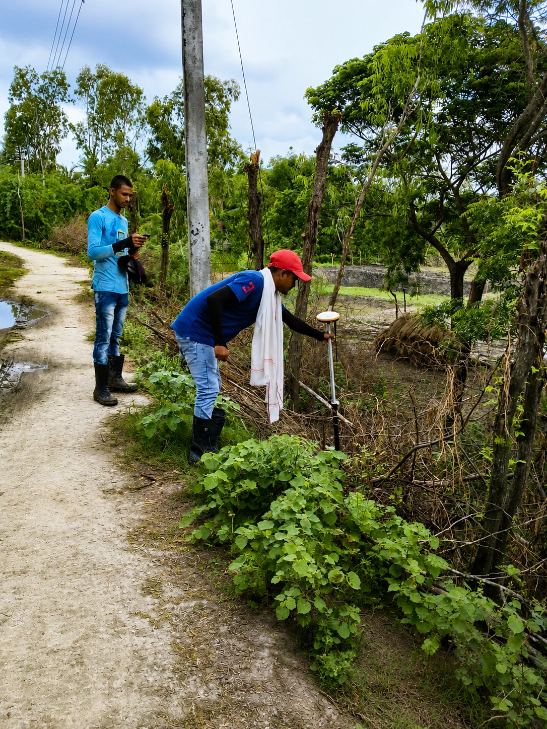
Water & Drainage Survey
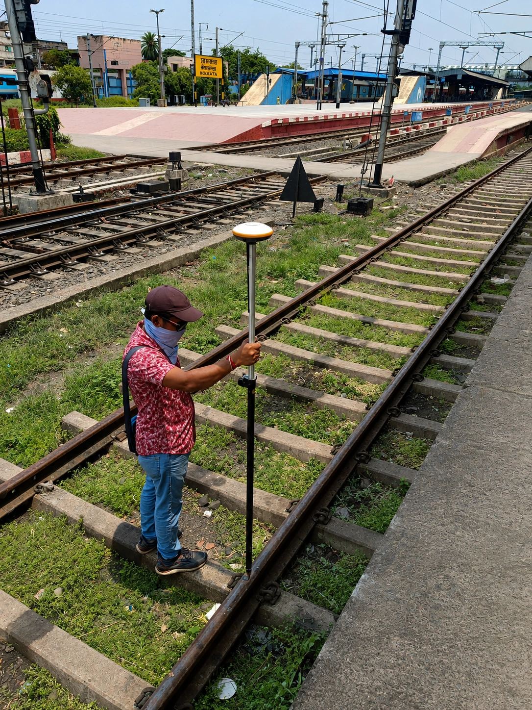
Railway Track Survey
Our Clients & Project Associates
Experience working with infrastructure companies, engineering organizations, municipalities, and industrial stakeholders.
Why Engineering Teams Choose ECAC
Field Experience
Practical, documented experience executing surveys in real, challenging infrastructure environments.
Survey Precision
Structured field data collection using maintained, modern surveying equipment and methodologies.
Multidisciplinary
Unified expertise across engineering, transport infrastructure, and water-related surveys.
Technology Driven
Applying appropriate geospatial technology and digital drafting to ensure engineering integrity.
Planning an Infrastructure Project?
Discuss your surveying, spatial data, and engineering requirements with our technical team.