Precise Bathymetric & River Survey Data, Delivered Below the Surface.
From riverbed profiling to dredger positioning, our hydrographic teams capture accurate underwater and bank-line data for canals, rivers, and barrage projects across the region.
Seeing What Lies Beneath the Water.
Hydrographic surveying maps the depth, contour, and features of riverbeds, canals, and water bodies — data that's impossible to gather through conventional land survey methods but essential for dredging, navigation, and drainage design.
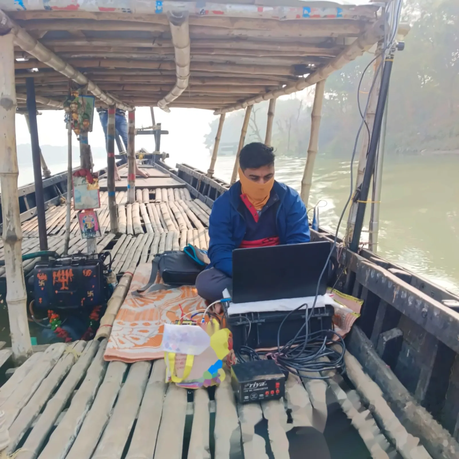
ECAC's hydrographic teams combine echo-sounding, DGPS positioning, and boat-mounted survey equipment to record bathymetric profiles, bank conditions, and channel geometry with reliable accuracy, even across large river stretches and barrage zones.
Our field experience spans navigational lock construction, dredger positioning support, and long-duration canal monitoring — including multi-year survey contracts along the Farakka Barrage feeder canal network.
Our Survey Approach
A methodical process from boat deployment to final bathymetric charting.
Control Setup
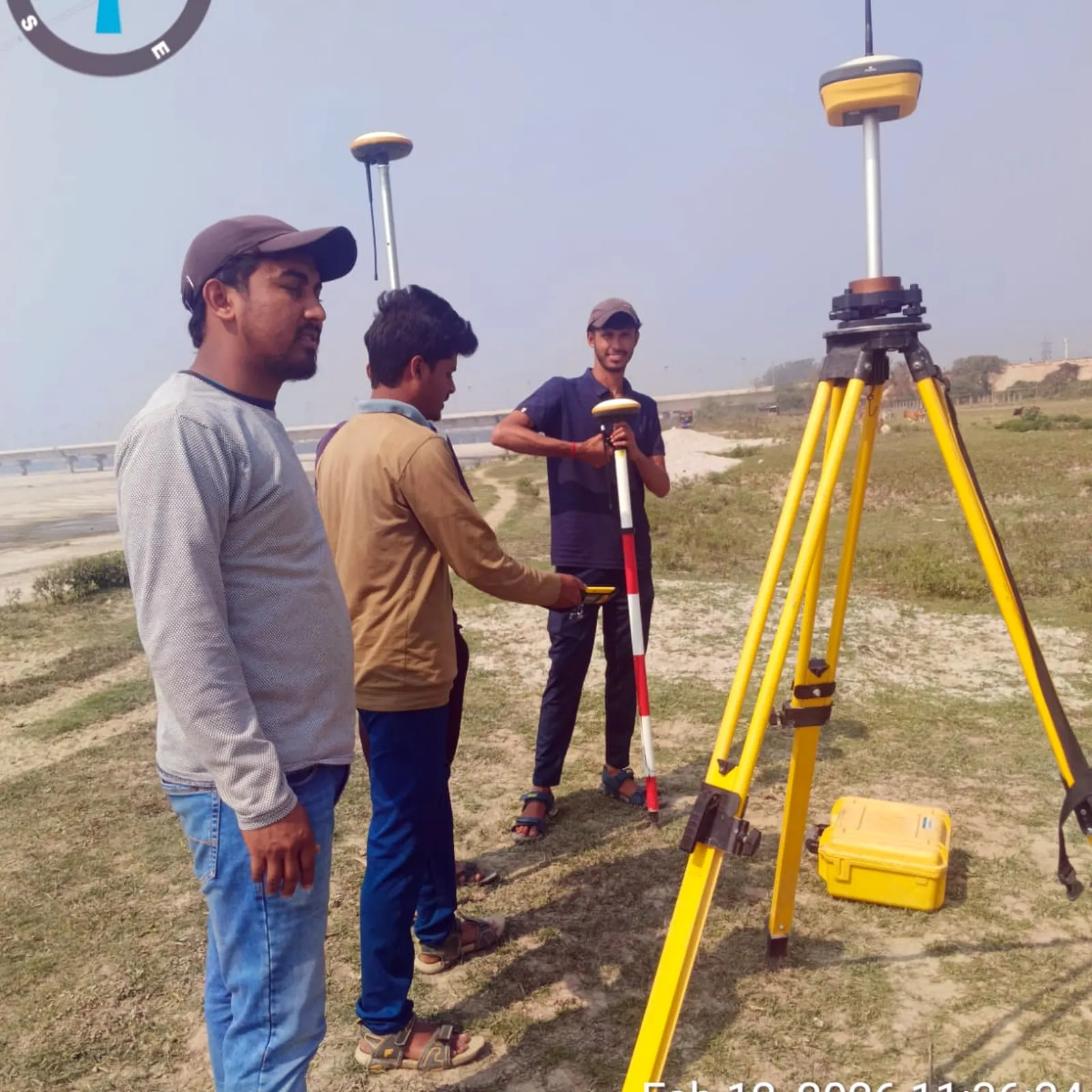
DGPS base stations are established along the bank to provide precise positioning reference for the survey boat.
Echo Sounding
Boat-mounted sonar records continuous depth readings along planned survey lines across the channel width.
Data Correlation
Depth soundings are time-synced with GPS positions and corrected for tide/water-level variation.
Bathymetric Charting
Processed data is compiled into contour charts, cross-sections, and volume reports for the design or dredging team.
Technology Behind the Precision
ECAC deploys dedicated hydrographic instruments built for reliable underwater and near-shore data capture.
Echo Sounders
Single and dual-frequency depth sounding systems for accurate riverbed and canal-bottom profiling.
DGPS / GNSS Rovers
Real-time boat and dredger positioning tied to shore-based reference stations for centimetre-level accuracy.
Survey Boats & ADCP
Stable survey vessels fitted with ADCP flow-measurement instruments for current and discharge data.
Engineering Applications
Our hydrographic survey services support projects across dredging, navigation, and river infrastructure.
Navigational Locks
Bathymetric baselines for lock construction and channel clearance verification.
Dredger Positioning
Live DGPS alignment support for dredging vessels during active operation.
Feeder Canal Monitoring
Long-duration hydrographic observation of canal reaches, including inspection roads.
Barrage & Guide Bund Survey
Char land, guide bund and low-bank surveys around major barrage infrastructure.
Selected Hydrographic Projects
Real field experience across major river and barrage survey contracts.
Ganga River Pond Survey
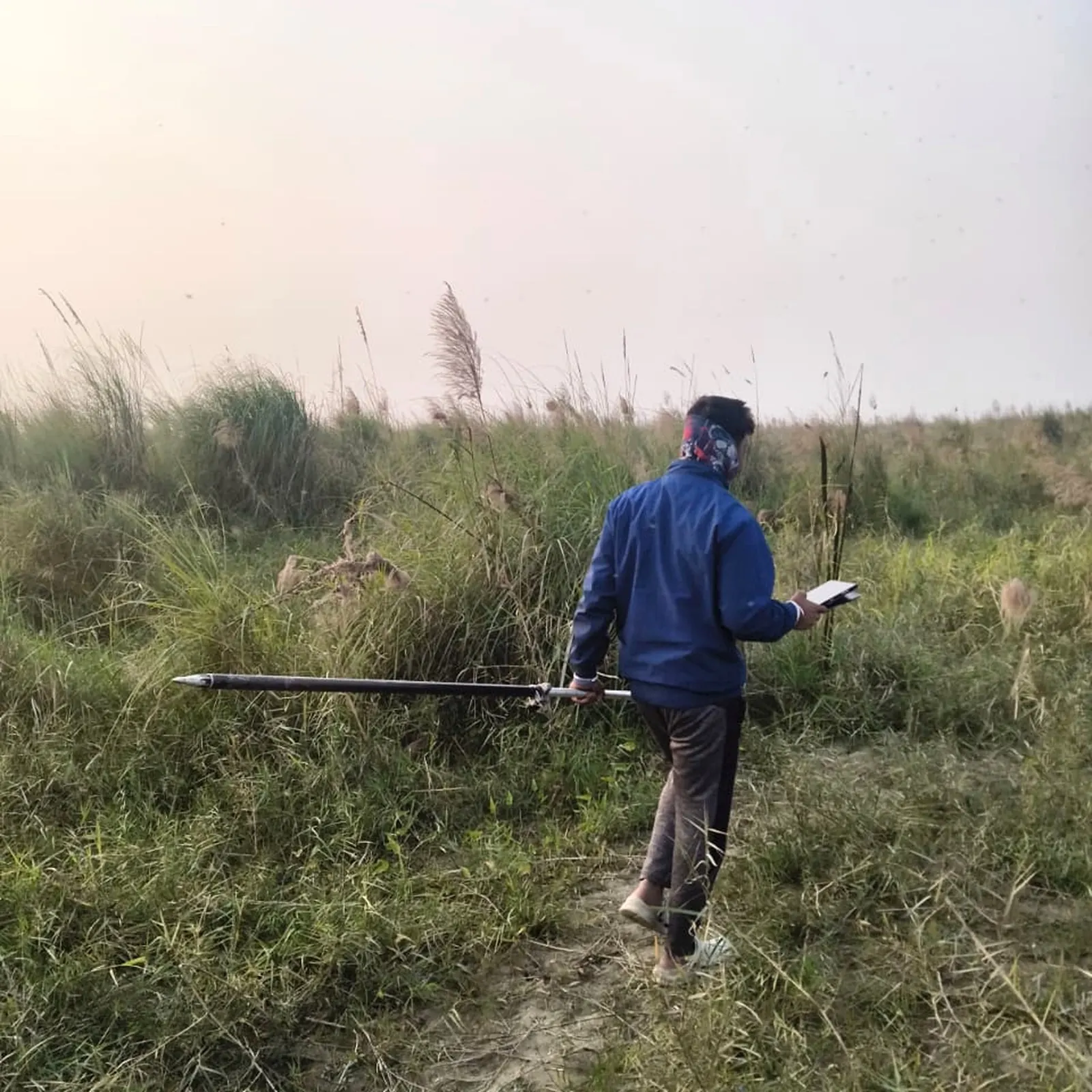
Hydrographical survey of the Ganga river pond, including char land, guide bunds and low banks around Farakka Barrage.
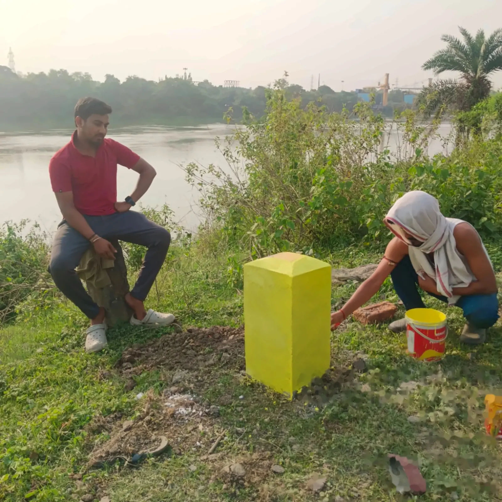
Feeder Canal Survey, 124 km
One-year hydrographic survey of the feeder canal from RD 000 to RD 124, including bank inspection roads.
Need Reliable Hydrographic Data?
Talk to our team about your river, canal or dredging survey requirement and project timeline.